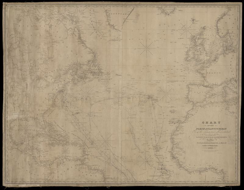
Chart of the North Atlantic Ocean 1832
Dublin Core
Title
Chart of the North Atlantic Ocean 1832
Description
Chart of the North Atlantic Ocean from the Equator 65' North Latitude according to the Latest Surveys & Observations. New York, published by E. & G.W. Blunt, 454 Water St.. corner of Maiden Lane 1832.
Chart used for whaling by Captain Frederick Weld of Guilford, Connecticut.
Chart used for whaling by Captain Frederick Weld of Guilford, Connecticut.
Source
Edith B. Nettleton Historical Room Collection
Publisher
Guilford Free Library
Contributor
Chart image and digitized copy courtesy of Malcolm Hill, Stephen Dudley, Joel Helander, and Bill Markham.
Rights
Digital image © Guilford Free Library. All rights reserved. Image may be used for personal research or educational uses without prior permission. For requests or exhibits, see Guilford Free Library.
Format
.JPG
Citation
“Chart of the North Atlantic Ocean 1832,” Guilford Free Library Archives, accessed June 30, 2025, https://guilfordfreelibrary.org/gflarchives/items/show/1230.

